

Please e-mail the State Coordinator concerning any suggestions, comments or general questions about this site. Livingston Parish is available for adoption! Please consider adopting it or sending information in for inclusion on the site.
Anything concerning Livingston Parish that would enhance this site or
be helpful to Livingston Parish genealogists would be greatly appreciated.
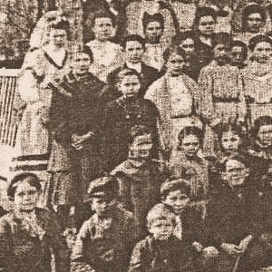
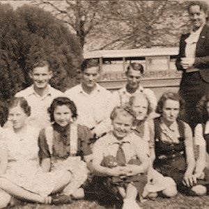
If you have transcribed wills,obituaries, cemetery listings,
biographies, or other records of Livingston Parish residents, please
consider sharing them at this site. I hope you enjoy your visit. Please email me if you have any suggestions
or contributions you would like to make.
Livingston Parish (French: Paroisse de Livingston) is a parish
located in the U.S. state of Louisiana. Livingston Parish is known as
one of the six Florida Parishes, a region of the State of Louisiana
that was bought from Spanish Florida and created the state of Louisiana
as it is known today.
It has become widely accepted that the
name Livingston is an eponym honoring Edward Livingston, a prominent
American and Louisianan, a jurist and statesman who assisted in the
drafting of the Louisiana Civil Code of 1825.
Livingston Parish was created by the state legislature in 1832 from part of St. Helena Parish. The historical parish seats were Van Buren (1832–35), Springfield (1835–72), Port Vincent (1872–81), and Centerville (1881–1941). Livingston became the seat of government in 1941. - Wikipedia
Livingston was originally part of the St. Helena District. In 1832,
St. Helena was divided in half and the Louisiana legislature created
Livingston Parish. It was named for Edward Livingston, a prominent
statesman who served as a senator, a minister to France, and Secretary
of State under Andrew Jackson.
By 1835 several small industries
were thriving in the area, notably sawmills and brick factories. The
timber industry brought the railroads through in the early part of this
century, changing commercial and residential patterns. With the
construction of modern highways and the encroachment of metropolitan
Baton Rouge, Livingston Parish continues to attract residents as well
as businesses. The parish is located between the state capitol at Baton
Rouge and the city of New Orleans.
The parish consists of 642
square miles and is 32 miles long by 30 miles wide. The northern part
of the parish consists of rolling terrain covered by pine and hardwood
forests about 50 feet above sea level. In the southern end of the
parish, the land submerges into rich cypress forests and marshes that
border on Lake Maurepas and the Amite River.
The parish seat is
located in Livingston in the center of the parish. Other towns in the
parish are Albany, Denham Springs, French Settlement(so named because
of the many French and Acadian settlers), Killian, Port Vincent,
Springfield (Livingston's oldest community, incorporated in 1838), and
Walker (only 20 miles from the State capitol).
Make sure you check the "Research Resources" section!
|
|||
| search engine by freefind |
|
|
|
|
LIVINGSTON Parish |
||
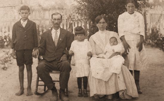
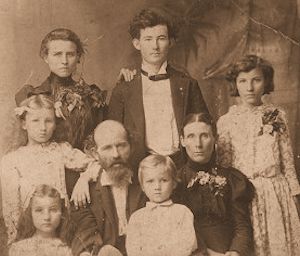
We are the chosen. In each family there is one who seems called to find the ancestors. To put flesh on their bones and make them live again. To tell the family story and to feel that somehow they know and approve. Doing genealogy is not a cold gathering of facts but, instead, breathing life into all who have gone before. We are the story tellers of the tribe. All tribes have one. We have been called, as it were, by our genes. Those who have gone before cry out to us: Tell our story. So, we do. In finding them, we somehow find ourselves. How many graves have I stood before now and cried? I have lost count. How many times have I told the ancestors, "You have a wonderful family; you would be proud of us.". How many times have I walked up to a grave and felt somehow there was love there for me? I cannot say. It goes beyond just documenting facts. It goes to who I am, and why I do the things I do. It goes to seeing a cemetery about to be lost forever to weeds and indifference and saying - I can't let this happen. The bones here are bones of my bone and flesh of my flesh. It goes to doing something about it. It goes to pride in what our ancestors were able to accomplish. How they contributed to what we are today. It goes to respecting their hardships and losses, their never giving in or giving up, their resoluteness to go on and build a life for their family. It goes to deep pride that the fathers fought and some died to make and keep us a nation. It goes to a deep and immense understanding that they were doing it for us. It is of equal pride and love that our mothers struggled to give us birth, without them we could not exist, and so we love each one, as far back as we can reach. That we might be born who we are. That we might remember them. So we do. With love and caring and scribing each fact of their existence, because we are they and they are the sum of who we are. So, as a scribe called, I tell the story of my family. It is up to that one called in the next generation to answer the call and take my place in the long line of family storytellers. That is why I do my family genealogy, and that is what calls those young and old to step up and restore the memory or greet those who we had never known before."
by Della M. Cummings Wright; Rewritten by her granddaughter Dell Jo Ann McGinnis Johnson; Edited and Reworded by Tom Dunn, 1943."
Coordinator: Vacant
State Coordinator:
Marsha Holley
If you have questions or problems with this site, email Marsha Holley, State Coordinator.